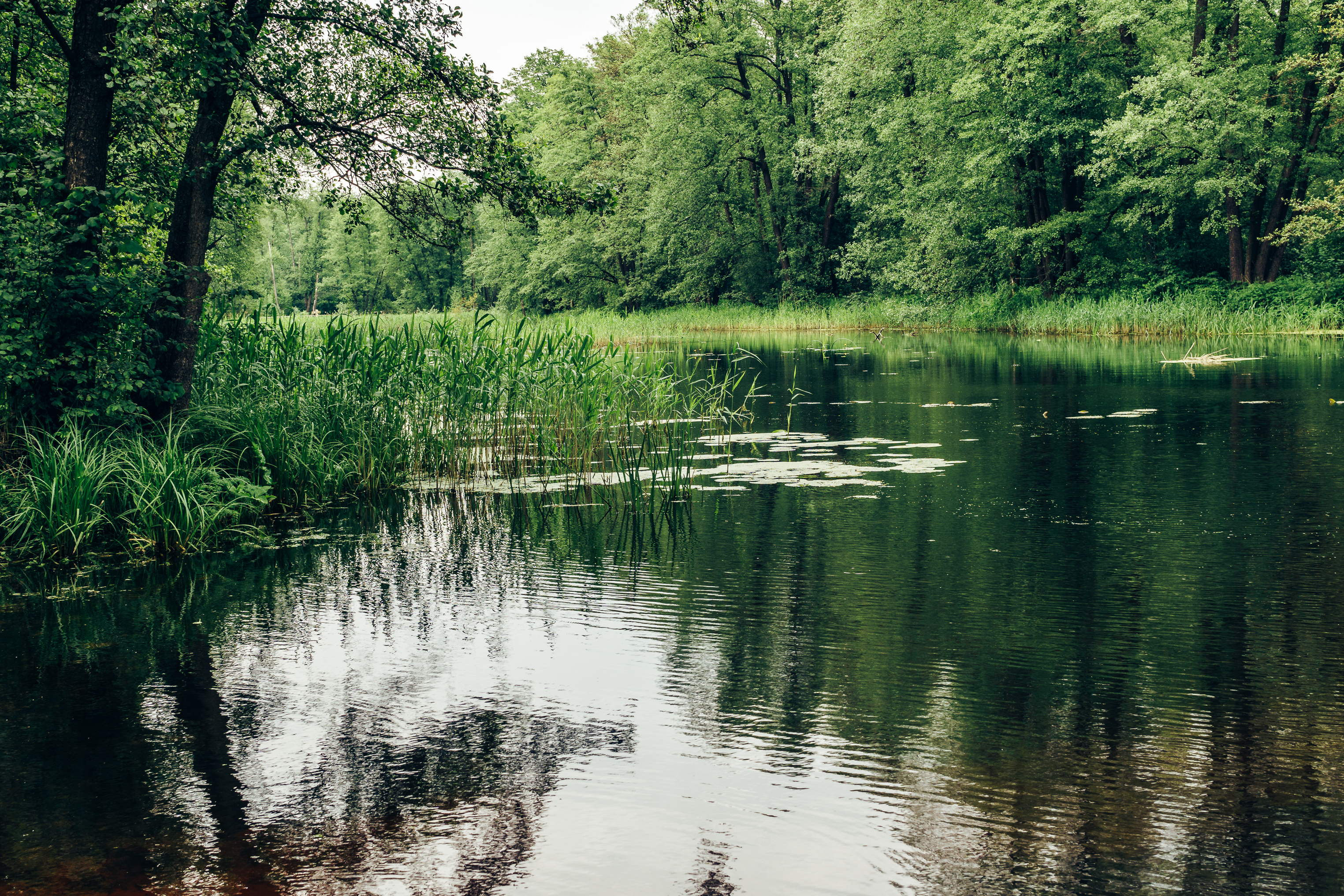
The Pea River watershed drains the area immediately west of the Choctawhatchee River and begins in Bullock County south of Union Springs. The Pea River flows southwestward for approximately 68 miles to Elba (northwest Coffee County) southward for 30 miles into Geneva County then gradually eastward briefly flowing into Florida before joining the Choctawhatchee River south of Geneva.
About 53% of the Pea River watershed is forested with 18% in pasture and cropland. The total length of the river is 128 miles and drains an area of 1,452 square miles.

DID YOU KNOW?
-
The Pea river makes a short dip into Florida right before joining the Choctawhatchee at Geneva, Alabama
-
Forests cover 53% of the watershed with 18% in pasture and cropland
-
Home to many species of freshwater fish like bream, catfish, and bass
